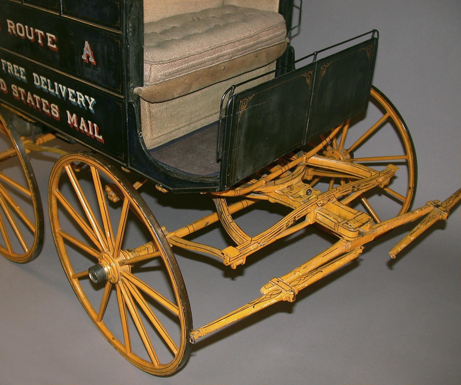
Top 5 Tools for Real-Time Rural Route Adjustments
Quick answer
When rural routes change unexpectedly—due to road closures, weather, or last-minute stops—dispatchers need tools that update routes instantly, keep drivers informed, and maintain delivery promises. The best tools integrate with existing systems, work offline, and offer clear visual adjustments. Below, we cover five practical options that fit these needs, along with real-world decision points to help you choose the right one for your team.
Why real-time adjustments matter in rural dispatch
Rural routes aren’t just longer—they’re more unpredictable. A single washed-out bridge or unexpected livestock crossing can turn a smooth route into a logistical puzzle. Unlike urban areas, rural zones often lack real-time traffic data, detour signs, or backup roads. Dispatchers must rely on tools that adapt quickly, communicate changes clearly, and keep drivers safe without adding stress.
For example, a dispatcher in Montana once had to reroute a driver around a sudden wildfire. The driver’s GPS didn’t update in time, and the original route led straight into the evacuation zone. The dispatcher used a tool that pushed a new route directly to the driver’s device, avoiding the hazard and saving hours of delay. This kind of flexibility isn’t a luxury—it’s a necessity.
Tool 1: Onfleet
Onfleet is a dispatch platform designed for last-mile delivery, with strong rural support. It offers real-time route optimization, driver tracking, and automated customer notifications. Dispatchers can adjust routes manually or let the system recalculate based on new stops or delays. The mobile app works offline, syncing changes once connectivity returns.
Best for: Teams that need a balance of automation and manual control. Onfleet’s interface is intuitive, making it easy to drag and drop stops or split routes between drivers. It also integrates with common fleet management systems, reducing setup time.
Limitations: Onfleet’s pricing scales with delivery volume, which may be a concern for smaller operations. Some users report that the optimization algorithm struggles with very long rural routes (over 100 stops), requiring manual tweaks.
Tool 2: Route4Me
Route4Me specializes in multi-stop route planning and offers real-time adjustments for rural areas. Dispatchers can add or remove stops, reorder routes, and see live driver progress. The tool also includes a “terrain mode,” which accounts for unpaved roads, elevation changes, and seasonal road conditions—critical for rural deliveries.
Best for: Dispatchers who prioritize flexibility. Route4Me allows for quick edits, like swapping a driver’s route with another or adding an emergency stop without recalculating the entire route. It also supports voice-guided navigation for drivers, reducing distractions.
Limitations: The mobile app can be slow to load in areas with poor connectivity. Some users find the interface cluttered, especially when managing multiple routes at once.
Tool 3: OptimoRoute
OptimoRoute focuses on efficiency, using AI to optimize routes in real time. It adjusts for traffic, weather, and driver availability, making it useful for rural dispatchers who need to react quickly to changes. The tool also includes a “what-if” scenario planner, allowing dispatchers to test route changes before implementing them.
Best for: Teams that want data-driven adjustments. OptimoRoute’s reporting features help dispatchers track performance over time, identifying patterns like recurring delays on certain roads. This can inform long-term route planning, not just day-to-day adjustments.
Limitations: OptimoRoute’s AI relies on historical data, which may be limited in rural areas. Dispatchers might need to manually override suggestions if the system doesn’t account for local knowledge, like a road that’s impassable after rain.
Tool 4: Circuit for Teams
Circuit for Teams is a route-planning tool built for simplicity. It offers real-time adjustments, driver tracking, and proof-of-delivery features. Dispatchers can edit routes on the fly, and drivers receive updates instantly via the mobile app. The tool also includes a “priority stop” feature, which bumps urgent deliveries to the top of the route.
Best for: Small to mid-sized teams that need a straightforward solution. Circuit’s interface is clean and easy to learn, making it ideal for dispatchers who don’t have time for extensive training. It also works well for mixed fleets, like those using both trucks and vans.
Limitations: Circuit lacks some advanced features, like terrain-based routing or AI optimization. It’s also less suited for very large fleets (over 50 drivers), as the interface can become cumbersome.
Tool 5: Google Maps Platform (with custom integration)
Google Maps Platform isn’t a dedicated dispatch tool, but it can be customized for real-time rural route adjustments. Dispatchers can use the Distance Matrix API to recalculate routes based on new stops or delays, and the Directions API to push updates to drivers. This approach requires some technical setup but offers unmatched flexibility.
Best for: Teams with in-house tech support or developers. Google Maps’ data is comprehensive, covering even remote rural roads. Dispatchers can build custom workflows, like integrating route updates with their existing fleet management software.
Limitations: The setup process is complex and may require ongoing maintenance. Google Maps also lacks built-in dispatch features, like driver tracking or proof of delivery, so these would need to be added separately.
How to choose the right tool for your team
Selecting a tool depends on your specific needs. Below is a comparison table to help you weigh the options:
| Feature | Onfleet | Route4Me | OptimoRoute | Circuit for Teams | Google Maps Platform |
|---|---|---|---|---|---|
| Real-time adjustments | Yes | Yes | Yes | Yes | Yes (with API) |
| Offline functionality | Yes | Partial | No | Yes | No |
| Terrain-based routing | No | Yes | No | No | No |
| AI optimization | No | No | Yes | No | No |
| Driver tracking | Yes | Yes | Yes | Yes | No (requires integration) |
| Proof of delivery | Yes | Yes | No | Yes | No |
| Ease of use | High | Medium | Medium | High | Low (requires tech skills) |
| Pricing model | Per delivery | Subscription | Subscription | Subscription | Pay-as-you-go |
Beyond features, consider these questions:
- How often do your routes change? If adjustments are rare, a simpler tool like Circuit may suffice. If changes are frequent, a more robust option like Onfleet or Route4Me might be worth the investment.
- What’s your team’s tech comfort level? Tools like Google Maps Platform require technical expertise, while others, like Circuit, are designed for non-technical users.
- Do you need offline functionality? Rural areas often have spotty connectivity. If your drivers lose signal frequently, prioritize tools with offline support.
- What’s your budget? Subscription-based tools offer predictable costs, while pay-as-you-go models (like Google Maps) can scale with usage but may become expensive at high volumes.
If you’re still unsure, start with a free trial or demo. Most tools offer these, allowing you to test real-time adjustments in your specific environment. For example, you could simulate a road closure and see how quickly the tool recalculates the route and updates the driver.
Common pain points and how to solve them
Even the best tools can’t eliminate all challenges. Here are some common issues dispatchers face with real-time adjustments—and how to address them:
Drivers ignore updates
Sometimes, drivers stick to the original route despite updates. This can happen if the tool’s notifications are unclear or if drivers are skeptical of the new route’s efficiency.
Solution: Use tools that provide clear, actionable updates. For example, Route4Me’s voice-guided navigation can alert drivers to changes without requiring them to check a screen. Additionally, train drivers to trust the tool by showing them examples of how adjustments have saved time in the past.
Connectivity issues
Rural areas often have poor cell service, leading to delayed updates or lost data.
Solution: Prioritize tools with offline functionality, like Onfleet or Circuit. These tools cache route data and sync changes once connectivity is restored. You can also equip drivers with satellite communicators for critical updates in areas with no cell service.
Overwhelming interface
Some tools pack in too many features, making it hard for dispatchers to find the real-time adjustment options.
Solution: Choose tools with customizable dashboards. For example, OptimoRoute allows dispatchers to hide unused features, keeping the interface clean. You can also create step-by-step guides for your team, highlighting the most important functions.
Integration challenges
If your tool doesn’t integrate with your existing systems (like fleet management software), real-time adjustments can create more work.
Solution: Before committing to a tool, check its integration options. Onfleet and Route4Me, for example, offer APIs and pre-built integrations with popular fleet management systems. If you’re using a custom solution, Google Maps Platform may be the most flexible option.
Who this ebook is for
If you’re a dispatcher who’s tired of scrambling when rural routes change, Real-Time Rural Route Mastery: The Last Mile Dispatcher’s Field Guide to Exception Handling is designed for you. This ebook goes beyond tools, offering practical strategies for handling exceptions like road closures, weather delays, and last-minute stops. You’ll learn how to:
- Build a step-by-step process for real-time adjustments, so you’re never caught off guard.
- Train drivers to respond quickly to route changes, reducing confusion and delays.
- Use data to anticipate common rural route challenges, like seasonal road conditions.
- Communicate effectively with customers when deliveries are delayed or rerouted.
The guide also includes templates for common scenarios, like a road closure checklist or a driver update script. These resources save you time and ensure consistency, even when you’re under pressure.
Next steps for implementing real-time adjustments
Ready to put these tools into action? Start with these steps:
- Audit your current process. Identify where real-time adjustments are most needed. For example, do you struggle with last-minute stops, weather delays, or road closures?
- Test tools in a low-stakes environment. Use a free trial to simulate a route change, like adding an emergency stop or rerouting around a closed road. Observe how the tool handles the adjustment and how your team responds.
- Train your team. Even the best tool won’t help if your team doesn’t know how to use it. Schedule a training session to walk through real-time adjustments, and create a quick-reference guide for common scenarios.
- Monitor and refine. After implementing a tool, track its impact. Are routes more efficient? Are drivers happier? Use this data to make adjustments and improve your process over time.
For a deeper dive into handling exceptions, Real-Time Rural Route Mastery provides a field-tested framework. It’s packed with real-world examples and actionable advice, helping you turn unpredictability into a manageable part of your workflow.
Final thoughts
Real-time rural route adjustments don’t have to be stressful. With the right tool, you can adapt to changes quickly, keep drivers informed, and maintain delivery promises—even in the most unpredictable conditions. The key is choosing a tool that fits your team’s needs, whether that’s offline functionality, terrain-based routing, or AI optimization.
If you’re looking for a comprehensive solution, Real-Time Rural Route Mastery can help you build a process that works for your unique challenges. It’s not just about the tools—it’s about how you use them to keep your operations running smoothly, no matter what comes your way.
Frequently asked questions
What’s the biggest challenge with real-time rural route adjustments?
The biggest challenge is unpredictability. Rural areas often lack real-time data on road conditions, traffic, or closures. Dispatchers must rely on tools that can adapt quickly and communicate changes clearly to drivers, even in areas with poor connectivity.
Can I use free tools for real-time route adjustments?
Free tools like Google Maps can handle basic route adjustments, but they lack features like driver tracking, proof of delivery, and offline functionality. For professional dispatch operations, paid tools like Onfleet or Route4Me are more reliable and offer better support.
How do I train my team to use these tools effectively?
Start with hands-on training. Simulate common scenarios, like a road closure or last-minute stop, and walk your team through the adjustment process. Create quick-reference guides for each tool, and schedule regular refresher sessions to keep skills sharp.
What if my drivers resist using the new tool?
Drivers may resist if they don’t see the tool’s value or if it complicates their workflow. Involve them in the selection process—ask for their input on features and usability. Show them how the tool saves time, like by reducing backtracking or avoiding road hazards. Over time, they’ll likely come to rely on it.
How often should I update my route adjustment process?
Review your process at least once a quarter. Look for patterns, like recurring delays on certain roads or frequent last-minute stops. Use this data to refine your approach, whether that means adjusting your tool settings, retraining your team, or updating your route planning strategy.
Is it worth investing in a tool with AI optimization?
AI optimization can save time and improve efficiency, but it’s not always necessary. If your routes are relatively simple or your team prefers manual control, a tool like Circuit may be sufficient. However, if you manage complex routes or high delivery volumes, AI-driven tools like OptimoRoute can provide valuable insights and automation.
Related guides
For the next practical step, explore these related guides:
Make Your Business Online By The Best No—Code & No—Plugin Solution In The Market.
30 Day Money-Back Guarantee
Say goodbye to your low online sales rate!
What’s the biggest challenge with real-time rural route adjustments?
The biggest challenge is unpredictability. Rural areas often lack real-time data on road conditions, traffic, or closures. Dispatchers must rely on tools that can adapt quickly and communicate changes clearly to drivers, even in areas with poor connectivity.
Can I use free tools for real-time route adjustments?
Free tools like Google Maps can handle basic route adjustments, but they lack features like driver tracking, proof of delivery, and offline functionality. For professional dispatch operations, paid tools like Onfleet or Route4Me are more reliable and offer better support.
How do I train my team to use these tools effectively?
Start with hands-on training. Simulate common scenarios, like a road closure or last-minute stop, and walk your team through the adjustment process. Create quick-reference guides for each tool, and schedule regular refresher sessions to keep skills sharp.
What if my drivers resist using the new tool?
Drivers may resist if they don’t see the tool’s value or if it complicates their workflow. Involve them in the selection process—ask for their input on features and usability. Show them how the tool saves time, like by reducing backtracking or avoiding road hazards. Over time, they’ll likely come to rely on it.
How often should I update my route adjustment process?
Review your process at least once a quarter. Look for patterns, like recurring delays on certain roads or frequent last-minute stops. Use this data to refine your approach, whether that means adjusting your tool settings, retraining your team, or updating your route planning strategy.
Is it worth investing in a tool with AI optimization?
AI optimization can save time and improve efficiency, but it’s not always necessary. If your routes are relatively simple or your team prefers manual control, a tool like Circuit may be sufficient. However, if you manage complex routes or high delivery volumes, AI-driven tools like OptimoRoute can provide valuable insights and automation.